
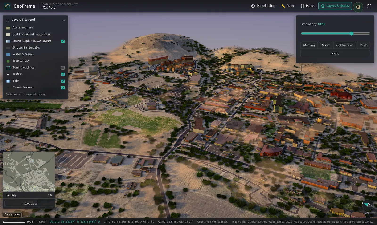
SUN & SHADOW
Any hour of the day
Scrub from morning to dusk and watch real shadows fall across real terrain.
GeoFrame / 12 places, all live 3D
Every tile is GeoFrame running live: a measured 3D model built from LiDAR, footprints, streets, trees and water. Tap one to fly it full screen.
HOW GEOFRAME WORKS
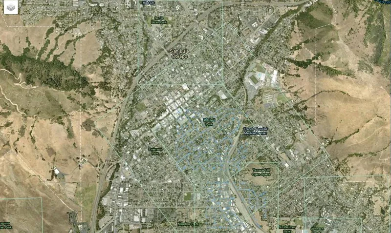
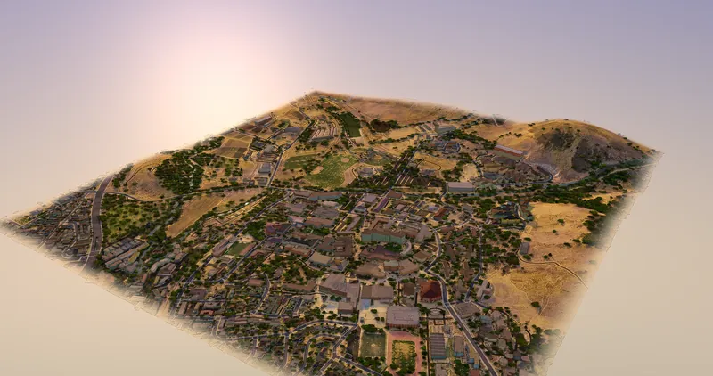
You choose the ground; GeoFrame does the modelling. It turns the square you select into a measured 3D model of the terrain and everything standing on it, built from public data with nothing traced by hand.
Drag a square on the map anywhere the public data reaches, from 500 m to 2 km a side. Ask for up to 64 of them, 256 km², in one request.
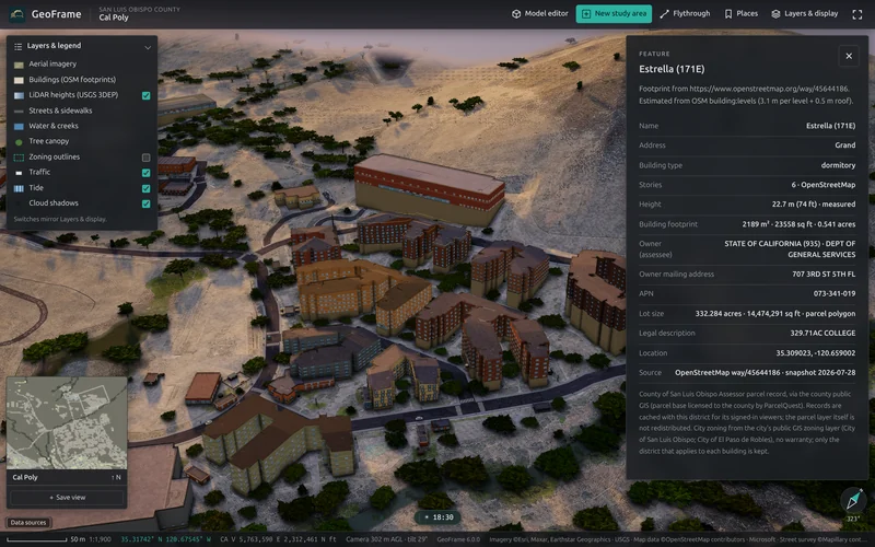
USGS LiDAR becomes real terrain: hills, valleys, creeks and coastline. Buildings rise to their measured heights, with streets, trees and water laid on top.
Fly over it, drop to street level, turn the sun and measure, all in the browser. Bring in your own CAD in 10 formats, and export images, video or a .glb model.
WATCH A DISTRICT GET MADE
What you can do
Scrub from morning to dusk and watch real shadows fall across real terrain.
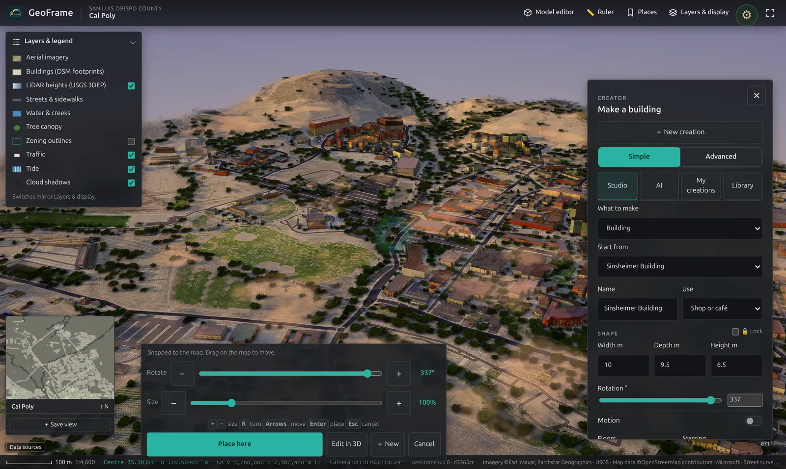
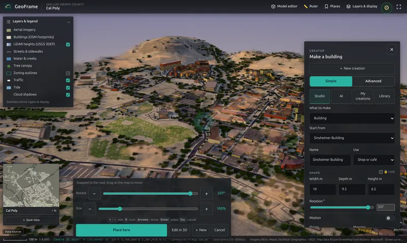
Width, depth, floors and use, or the full 3D editor with roofs and snapping.
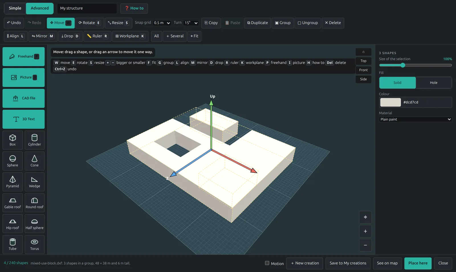
DXF, DWG, IFC, OBJ, STL, glTF, PLY, DAE, 3DS and FBX.
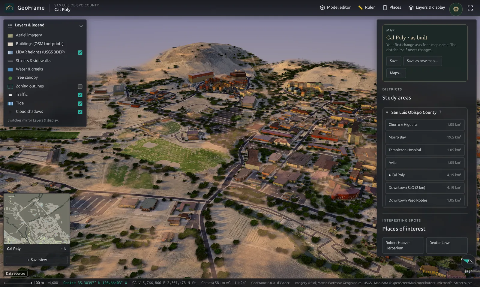
Your edits go into a named map. The district as built never changes.
Pricing
Unlimited open-data areas, Creator, exports and share links.
TEAM$299a month for 5 seatsShared areas, client links and admin limits.
PROJECT PASS$499per projectOne site, the whole project team, no subscription.
GOVERNMENTfrom $6,000a year, hostedUnlimited staff seats. 90-day pilot available.